Deep dive: studying pangolin burrow sites
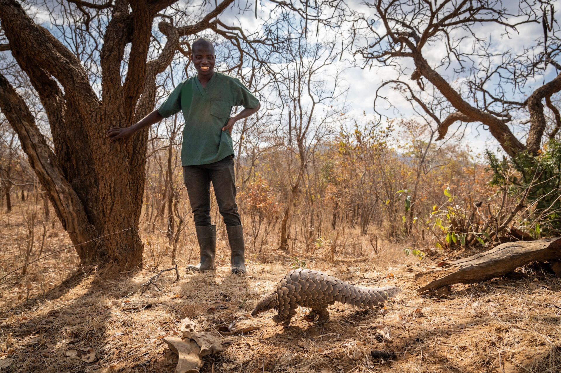
Pangolins are notoriously difficult to study: they’re nocturnal, elusive, live in burrows, and occur at low densities. But we have now completed a scoping study to a methodology that is practical and accurate for surveying pangolins across Malawi.
To locate and map existing burrows, and understand which characteristics pangolins prefer, we used a combination of methods…
🥾 covering 20 transects over 130 km
🗺️ mapping 255 burrows, 528 termite mounds, 109 water sources
📸 deploying 44 camera traps
🐾 recording tracks and other signs
🕳️ investigating active burrows with borescopes (flexible tubes with cameras)
📊 examining pangolin release data

And here’s what we looked at:
🗓️ five months of data collection
🕳️ 255 burrows
🐜 528 termite mounds
💧 109 water sources
📸 about 40% of our camera traps detected pangolins
Factors to explain distribution of pangolin burrows:
📏 measurements
🏝️ distance to water
🚧 distance to road/boundary
🐾 other species spotted
We’re analysing the data and can already see some patterns emerging. Here’s what we have on the burrows we’ve been able to confirm pangolins are using:
🪵 39% inside or under fallen trees
🌱 30% ground
🐜 17% termite mound
🪨 14% rock
🌳 89% in woodland
🌾 11% in grassland
The results of this study, alongside others like studying pangolin diets, will help inform release sites for pangolins. Once we refine these methods, we hope they can be used elsewhere around Malawi for comparison and, eventually, help shape guidelines in Malawi’s Conservation Action Plan for pangolins.
A lot of people and organisations made this huge task possible. Special thanks to Pangolin Crisis Fund, Woodtiger Fund, and African Parks for their support.